Solutions
Traditional base-and-rover surveying is slow, dangerous, and leaves too much room for error. When your inventory numbers are off, your bottom line suffers.
Turn site data into visual insights. Build accurate 3D maps that unify drone imagery, ground control, and design surfaces — documenting your work from initial planning right through to project closeout.
Get precise measurements across your entire site. Calculate volumes, distances, grades, and surface areas in seconds. Run conformance checks against design surfaces and instantly spot variances before they become costly problems.
Where propeller works
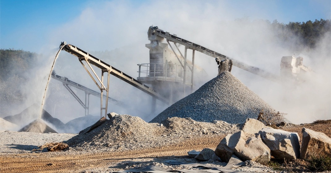
Manual stockpile measurements are dangerous and slow. Replace them with high-precision drone surveys that keep your team safe and your books accurate.
The Payoff: Get 2–4% more revenue from accurate sales tickets and optimise your haul roads for maximum throughput.
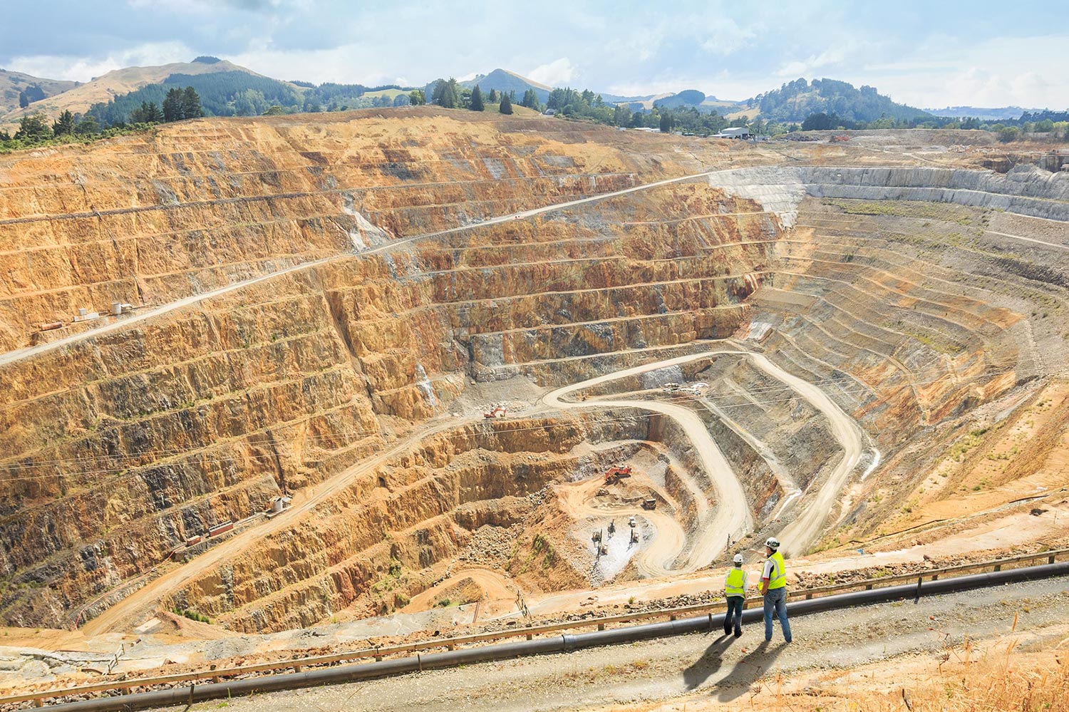
Manage the entire lifecycle of your mine with a visual timeline. Monitor volumes, track haul paths, and maintain environmental compliance with ease.
The Payoff: Reconcile planned vs. actual volumes and ensure your reclamation efforts meet regulatory requirements on time.
Verify cut/fill quantities and track material movement across the entire project lifecycle. Keep your earthworks on budget and on schedule.
The Payoff: Catch quantity discrepancies before they become budget overruns and keep every stakeholder aligned with shareable progress maps.
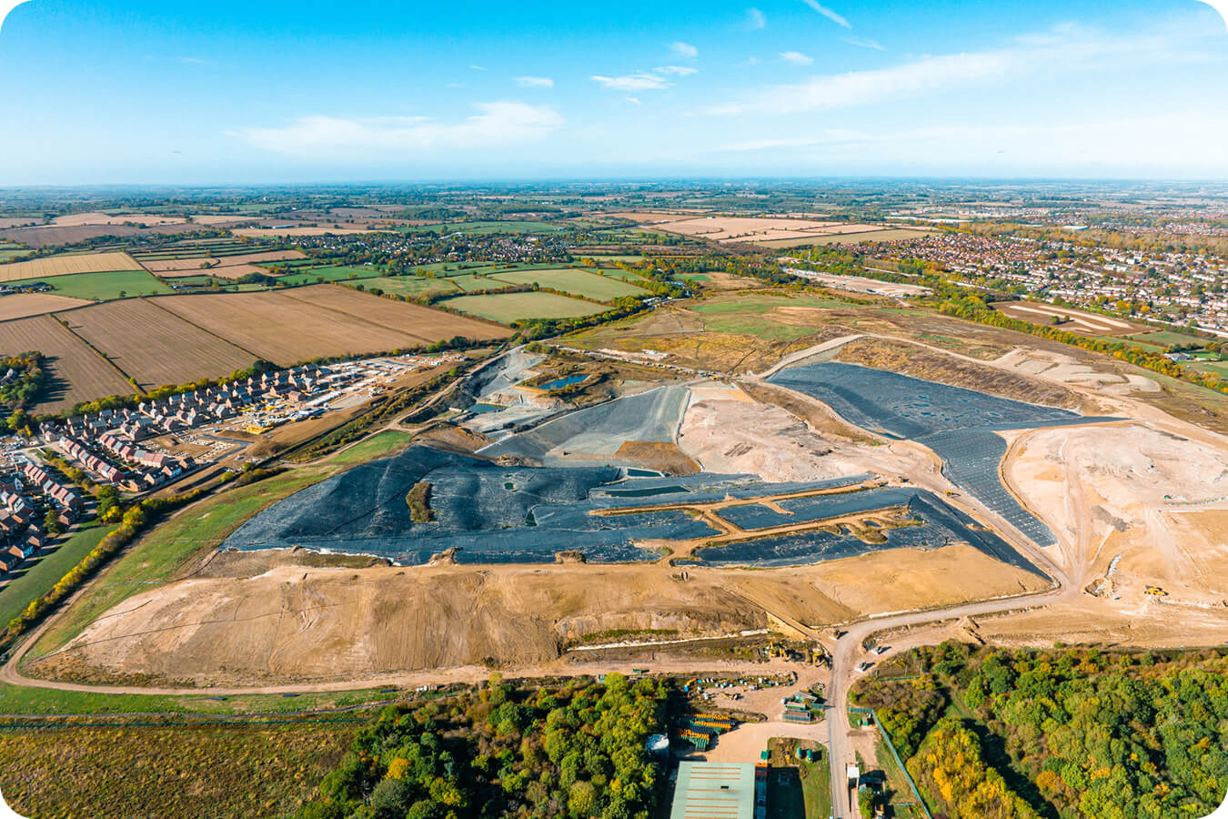
Monitor airspace and landfill capacity with precision. Make data-driven decisions on tipping face management and long-term capacity planning.
The Payoff: Extend the life of your landfill with accurate airspace modelling and reduce compliance risk with regular drone surveys.
Customer stories
“It’s the accuracy of the AeroPoints that works for us. Some companies rely on RTK, but we want reliable, accurate results. Fixed ground control doesn’t work for construction due to there always being material moved.”
“Propeller has changed the way our site department does business, and we have tried multiple platforms and drones. The Propeller PPK workflow changed the game for us.”
“Once you’ve used Propeller, you don’t want to use anything else again. It’s so easy!”
“I don’t know of a platform out there that is as good and as accurate as what Propeller can do.”
“
Being able to do drone surveys with Propeller means we're validating the stock on ground regularly and in real time.
“
Craig Burr
Quarry Support Manager, Australia
“
Imagine you're walking throughout the site and you need to navigate yourself through all this machinery. That, for us, is a big safety risk. Instead, I can safely launch the drone, do a quick flight, come back, and upload the information.
“
Alex Wong
Senior Digital Engineer, Australia
“
We have a lot of people utilising our survey data on Propeller, from internal staff to consultants, and even some clients viewing the data.
“
Malcolm Harvey
Survey Manager, Australia
How it works
Propeller replaces slow, manual survey workflows with an automated drone-to-map pipeline. Here's how our drone mapping software works from first flight to final report.
Fly any compatible drone over your site — DJI, Wingtra, senseFly and most RTK platforms work. AeroPoints on the ground automatically record precise position data throughout the flight.
Drag and drop your imagery and GPS logs into Propeller's cloud platform. Our photogrammetry engine processes everything and returns a complete survey-grade 3D map within 24 hours.
Draw a boundary around any pile and get an instant volume calculation. Compare against previous surveys or design surfaces to track inventory changes over time.
Export PDF or CSV inventory reports with one click. Share stockpile volumes with auditors, site managers, and accounting teams instantly.
Common questions
Drone mapping software turns aerial imagery captured by drones into accurate, georeferenced 3D maps, orthophotos, and point clouds. Propeller's platform takes raw drone data and processes it using photogrammetry and PPK techniques to deliver survey-grade maps in as little as 24 hours — without requiring specialist GIS knowledge.
Propeller delivers 3cm horizontal and vertical accuracy using AeroPoints and PPK-enabled drones. This survey-grade accuracy is verified by independent surveyors and backed by a detailed accuracy report included with every processed dataset. Our dual-frequency GNSS AeroPoints record positioning data every five seconds for consistent, reliable results.
Propeller works with most commercial drone platforms including DJI, Wingtra, senseFly, and other RTK-enabled drones. For the full PPK workflow and highest accuracy, we recommend pairing your drone with Propeller AeroPoints, which act as a base station for automatic position corrections.
Once you upload your drone imagery to Propeller, our photogrammetry engine processes it and returns a complete survey-grade 3D map, orthophoto, and point cloud within 24 hours. You'll receive a notification when it's ready, along with a full accuracy and quality report covering image quality, ground control accuracy, and survey metadata.
Propeller's platform supports a full range of measurements including stockpile volumes, cut/fill quantities, surface areas, distances, grades, and elevations. You can also run conformance checks against design surfaces, track progress over time with side-by-side survey comparisons, and generate professional reports for auditors and site managers.
Yes. Propeller's CRS database includes over 5,000 published coordinate reference systems, covering global and local projections. You can also upload your own custom CRS. All data is processed in your preferred system without requiring any after-the-fact transformation, making it fully compatible with your existing survey and CAD workflows.