“It’s the accuracy of the AeroPoints that works for us. Some companies rely on RTK, but we want reliable, accurate results. Fixed ground control doesn’t work for construction due to there always being material moved.”
“Propeller has changed the way our site department does business, and we have tried multiple platforms and drones. The Propeller PPK workflow changed the game for us.”
“Once you’ve used Propeller, you don’t want to use anything else again. It’s so easy!”
“I don’t know of a platform out there that is as good and as accurate as what Propeller can do.”
“
Propeller touches every department in our business in a really big way. If we didn't have the platform, it would leave a big void for us.
“
Marshall Dow
CEO, Texas USA
“
Propeller has changed the way our site department does business, and we have tried multiple platforms and drones. The Propeller PPK workflow changed the game for us.
“
Brian Leppo
GPS Coordinator, Pennsylvania USA
“
Propeller actually gives us the visual aspect. Now, site supervisors share measurements, volume and cut/fill comparisons, and views of linework for the pad areas.
“
Adam Green
Construction Technology Specialist, Texas USA








Solutions
Traditional base-and-rover surveying is slow, dangerous, and leaves too much room for error. When your inventory numbers are off, your bottom line suffers.
Turn site data into visual insights. Build accurate 3D maps that unify drone imagery, ground control, and design surfaces — documenting your work from initial planning right through to project closeout.
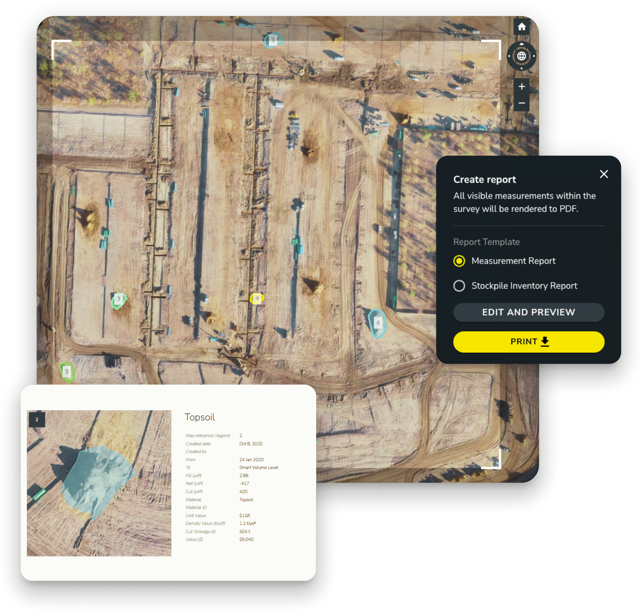
Get precise measurements across your entire site. Calculate volumes, distances, grades, and surface areas in seconds. Run conformance checks against design surfaces and instantly spot variances before they become costly problems.
How it works
Join 4,000+ worksites that have traded manual surveying for Propeller’s automated drone platform. Faster than a base-and-rover, more accurate than a visual estimate, and safer for your team.
Fly any compatible drone over your site — DJI, Wingtra, senseFly and most RTK enabled drones work. AeroPoints on the ground automatically record precise position data throughout the flight.
No more manual data crunching. Upload your drone flights and let us do the heavy lifting. Get survey-grade 3D maps and volume reports back within one business day.
Calculate volumes in seconds by simply drawing a boundary around your pile. Handle complex piles with ease; whether they are against a wall, in a bin, or on uneven terrain.
Generate PDF or CSV reports for auditors and site managers with a single click. Compare current volumes against previous surveys or design surfaces to track production trends over time.
Where propeller works
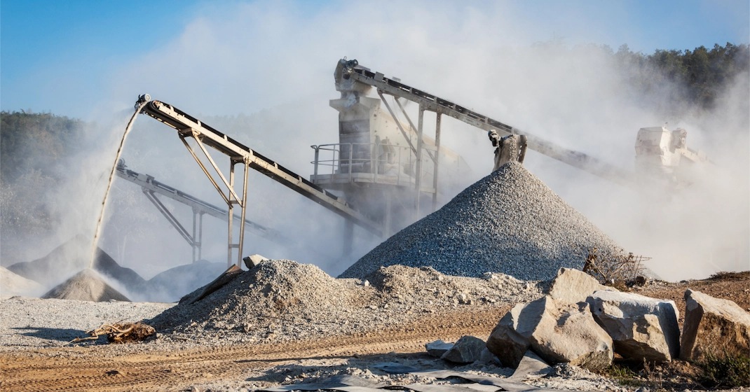
From pit to stockpile, your team gets a single source of truth for decision-making. Track construction aggregates volumes, monitor production, and plan ahead with the latest site data at your fingertips. Manual stockpile measurements are dangerous and slow. Replace them with high-precision drone surveys that keep your team safe and your books accurate.
The Payoff: Get 2–4% more revenue from accurate sales tickets and optimise your haul roads for maximum throughput.
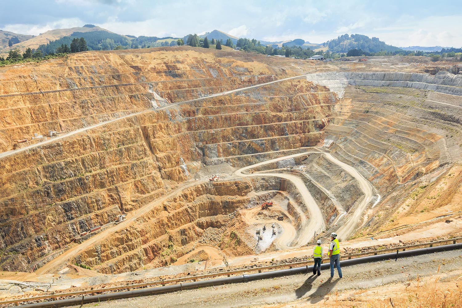
Combine mine surveying, machine telematics, and production tracking to reconcile faster, optimize haul roads, and keep crews safe with real-time insights. Support your entire mine by connecting every department on a single 3D map. Manage the entire lifecycle of your mine with a visual timeline.
The Payoff: Reconcile planned vs. actual volumes and ensure your reclamation efforts meet regulatory requirements on time.
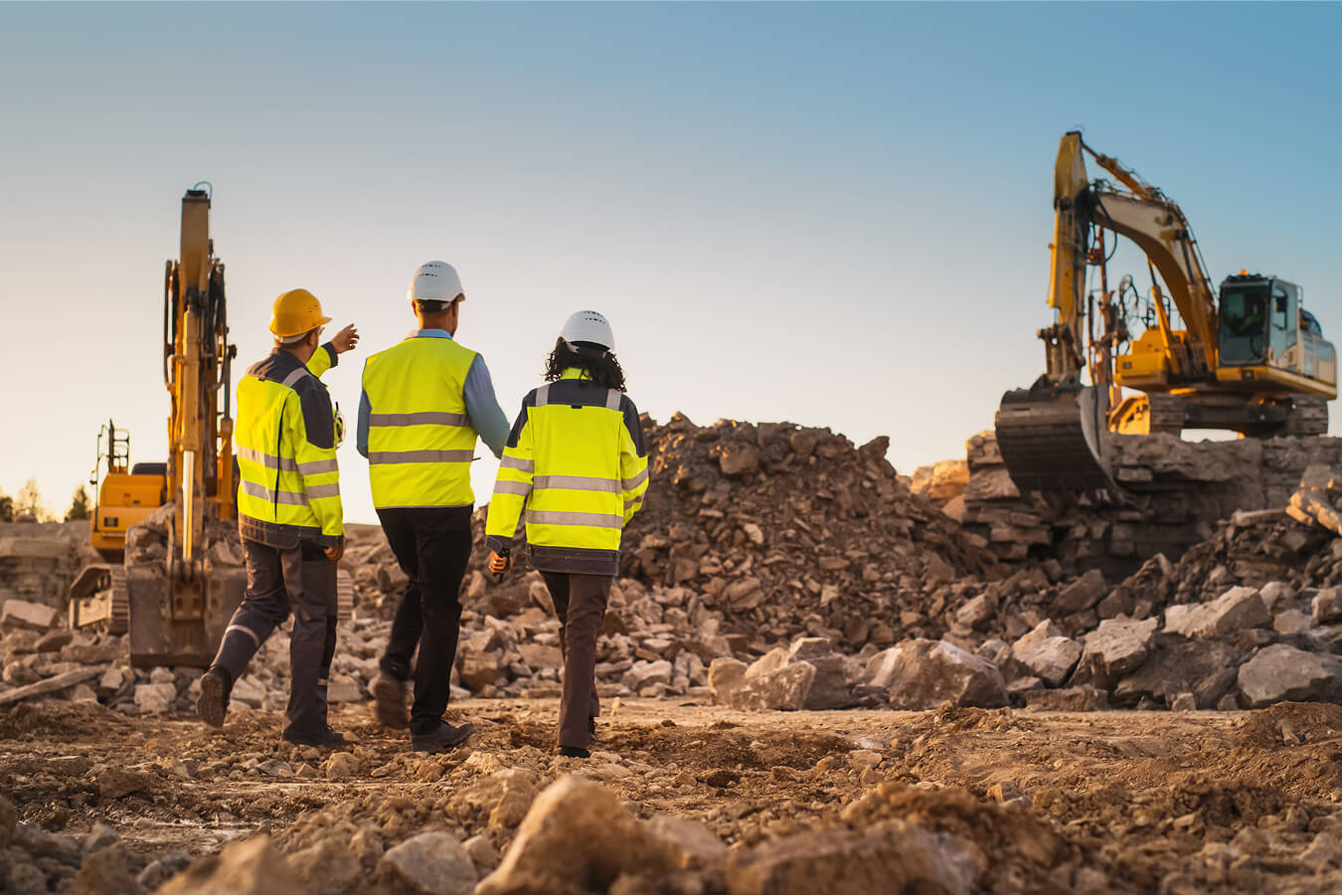
Get a single source of truth for every construction project. From initial site surveys to daily updates, our cloud platform delivers real-time data insights, 3D mapping, and field analytics to keep your teams aligned, reduce rework, and streamline project tracking across the site. Keep your earthworks on budget and on schedule.
The Payoff: Catch quantity discrepancies before they become budget overruns and keep every stakeholder aligned with shareable progress maps.
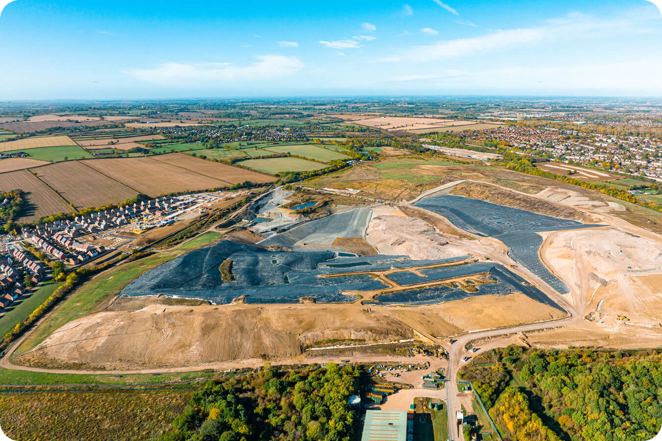
Monitor airspace and landfill capacity with precision. Make data-driven decisions on tipping face management and long-term capacity planning. Stay on top of compliance, reporting, and site progress with one easy-to-use platform. Turn complex operations into clear, measurable insights for safer and smarter work. Transform landfill management with accurate, daily data
The Payoff: Extend the life of your landfill with accurate airspace modelling and reduce compliance risk with regular drone surveys.
Common questions
Propeller delivers 3cm accuracy for stockpile and cut-fill measurements. This is achieved through survey-grade drone data combined with AeroPoints ground control points, giving you results you can trust for billing verification, subcontractor sign-off, and design conformance.
Stockpile measurement calculates the volume of material piled on a surface, which is useful for inventory tracking, billing verification, and material management on aggregates, mining, and construction sites. Cut-fill volume calculation measures the difference between existing ground and a design surface, showing how much material needs to be excavated or filled to reach grade. Propeller supports both in the same platform with the same point-and-click workflow.
Propeller generates automated volume reports that can be exported as PDFs or shared as interactive 3D maps via browser link with no software install required for the recipient. You can also use the read-only public API to feed volume data into external project management or billing systems.
Once you upload your drone imagery to Propeller, our photogrammetry engine processes it and returns a complete survey-grade 3D map, orthophoto, and point cloud within 24 hours. You'll receive a notification when it's ready, along with a full accuracy and quality report covering image quality, ground control accuracy, and survey metadata.
Shrink/swell refers to the change in material volume when soil or aggregate is excavated, transported, and compacted. A cubic metre of in-ground material does not equal a cubic metre of fill. Propeller's shrink/swell calculator lets you apply material-specific factors to your volume measurements so your cut-fill estimates reflect actual material quantities, not just geometric differences.
A stockpile calculator is a tool used to measure the volume of material in a pile using survey data. It helps construction and mining teams track inventory, verify quantities, and manage material movement.